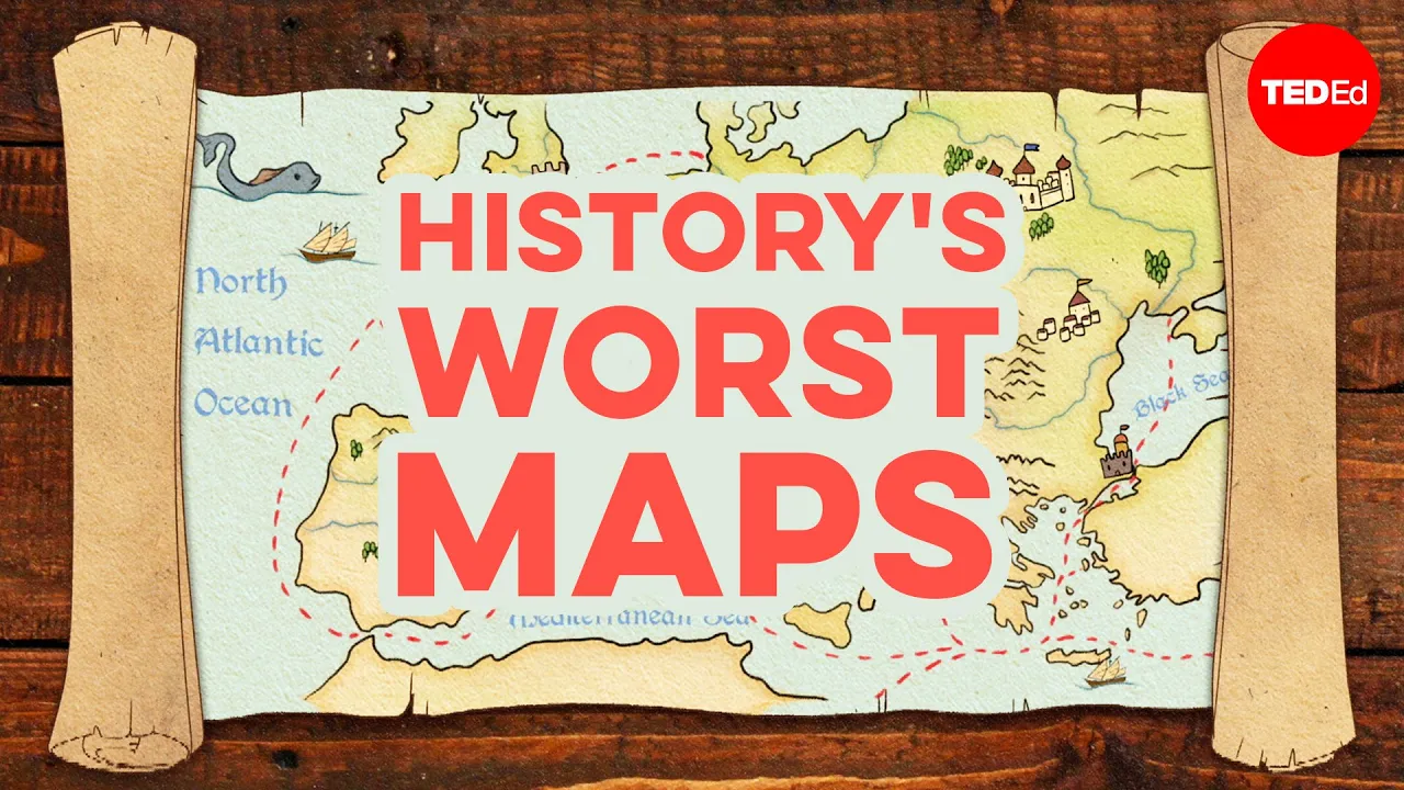
The biggest mistakes in mapmaking history - Kayla Wolf | Summary and Q&A

TL;DR
Medieval mapmakers filled unknown spots on the map with dragons and sea monsters, but as explorers traveled the world, they expanded the scope of world maps, although not without missteps.
Key Insights
- 🤢 Medieval European mapmakers used dragons and sea monsters to signify unknown areas on maps.
- 🗺️ Islamic mapmakers prioritized geographic accuracy and incorporated travel experiences into their maps.
- 🌍 Chinese mapmakers created an accurate portrayal of sub-Saharan Africa based on traders' accounts.
- 🌎 European cartographers made mistakes in depicting the Americas and the North Pole.
- 🗺️ The concept of mythical places and creatures persisted on world maps even as knowledge expanded.
- 👯 Terra incognita on maps were not truly unknown; they represented places inhabited by people and cultures.
- 🥺 Some mapmakers were influenced by the accounts and impressions of explorers, leading to inaccuracies.
Transcript
Read and summarize the transcript of this video on Glasp Reader (beta).
Questions & Answers
Q: How did medieval European mapmakers depict unknown areas on their maps?
Medieval European mapmakers often filled unknown or unexplored areas on maps with drawings of dragons and sea monsters to signify danger or uncertainty.
Q: What influenced Islamic mapmakers in creating world maps?
Islamic mapmakers focused on geographic details and accuracy. They based their maps on personal travel experiences, interviews with traders, and observations from other travelers.
Q: Who created the first accurate depiction of sub-Saharan Africa on a map?
Chinese mapmakers in 1389 depicted sub-Saharan Africa with a correctly shaped portrayal based on accounts from traders who had been there.
Q: What mistakes did European cartographers make in the expansion of their world maps?
Martin Waldseemuller mistakenly mapped the Americas as a thin sliver of land. Spanish cartographers mistakenly depicted the "Island of California" as detached from the rest of the continent based on explorers' impressions. Gerardus Mercator speculated about a magnetic rock at the North Pole surrounded by a whirlpool, which influenced his map.
Summary & Key Takeaways
-
Medieval European mapmakers marked unknown areas on maps with dragons and sea monsters.
-
Islamic mapmakers emphasized geographic details and created accurate world maps based on travel and interviews with traders.
-
European cartographers expanded their world maps as explorers traveled, but made mistakes in depicting the Americas and the North Pole.
Share This Summary 📚
Explore More Summaries from TED-Ed 📚


